
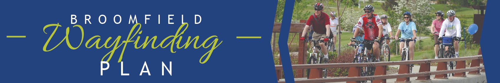
Broomfield Wayfinding Plan
ARCHIVED
The Broomfield Wayfinding Plan is complete! In December of 2022, Broomfield completed development of new wayfinding sign branding and a system report that outlines when and where wayfinding signage should be deployed. This plan is a first step at deploying wayfinding signage in open space, on paths, and streets to help you walk and bike within the community.
You can learn more about the history of this project, including how community input shaped the development of the Wayfinding Plan by reading below.
![]()
Project Summary
In response to feedback from the community received through the Broomfield Bicycle and Pedestrian Assessment, Broomfield identified the development of wayfinding branding, signs, and specifications as a key step to aiding the public in navigating Broomfield's low stress bicycle and pedestrian transportation network. Beginning in 2021 and continuing through 2022, the Broomfield project team with input from the public, developed a Wayfinding Plan along with a number deployment plans for getting signage out in the community. The City and County of Broomfield will be implementing the deployment of new wayfinding signage beginning in the spring/summer of 2023.
 Broomfield's Off-Street Sign Family
Public Input Process
The City's been out and about! Perhaps you've shared ideas during the outreach events in June (including National Trails Day, the Broomfield Library Summer Adventure, and BrewHaHa), in July at the Broomfield Summer Concert Series, or at the September 18th Broomfield Days at Midway Park.
- From June - August 2021, the community was invited to share your initial ideas through an interactive online survey and map (now closed).
- The City held two virtual public meeting on July 15, 2021, and October 7, 2021 -
- In the winter of 2022 The project team developed a number of sign alternatives using the input from the community about branding preferences. The public was asked to weigh in on the alternative sign concepts to determine the best mix of branding elements from the various alternatives. Engagement opportunities about the alternative sign designs were available on this Broomfield Voice page and the project team hosted in-person pop-up events throughout the community including: at the Library, the Broomfield Community Center, the Paul Derda Recreation Center, multiple locations on the Broomfield path/trail system, and at a Baseline Resident meeting.

- Using your input the project team developed a final wayfinding sign branding concept that was shared with City Council Members at the Broomfield Transportation Forum, with OSTAC members, and with Open Space Staff.
What's Next?
The project wrapped up at the end of 2022, but the work has just begun. The development of a Wayfinding Plan with sign standards, specifications for sign deployment, and updated branding was an essential first step in ensuring that the City and County of Broomfield's future investment into deploying signs on the low stress walking and biking network are done correctly and in a way that meets the needs of the community.
A key component of the project included the development of wayfinding deployment plans, providing the City and County of Broomfield with a roadmap for installing these signs throughout the community. The deployment plans set the City and County of Broomfield up to hit the ground running in 2023 to deploy new signage on a number of key routes through the community.


Moving forward, the City and County of Broomfield has set aside annual funding to incrementally add wayfinding on Broomfield's ever expanding low stress bicycle and pedestrian network. Keep your eyes out for new signage on trails and paths in Broomfield beginning in the spring or summer of 2023!
What is wayfinding?
The word “wayfinding” generally refers to how people find their way to where they want to go, such as to trails, schools, shopping, and other places. The City and County of Broomfield is currently developing a new plan, called the Broomfield Wayfinding Plan, that will create signs and identify specific locations for the signs to help you find your way. These signs and markings will be posted at key locations on trails, streets, bikeways, sidewalks, paths, and other places that you walk and bicycle. The signs will provide information, direct you to comfortable routes, and connect you with important destinations.
These signs and markings are intended to help people as you use active transportation, which includes walking, bicycling, using a wheelchair, using in-line skates or scooters, skateboarding, and jogging. Active transportation can also include other ways of getting around, such as using e-powered mobility devices including electric bicycles, mobility scooters, wheelchairs, one-wheel skateboards, and other devices.

Why does Broomfield need wayfinding?
In 2019, Broomfield developed the Broomfield Bicycle & Pedestrian Assessment which identified gaps in the existing bicycle and pedestrian network and developed a list of bikeway and pedestrian projects to close these gaps and better serve the community. During that process, residents expressed that they enjoy using the low-stress bikeways, trails, sidewalks, and other facilities. However, what’s needed next is wayfinding signage throughout Broomfield to help people feel comfortable and know they are on the right path to their destination while walking and bicycling. The Broomfield Wayfinding Plan will ultimately identify four to six priority corridors for the near-term implementation of wayfinding and then incrementally build out a citywide wayfinding system over the long term.
Broomfield ARTery project:
In addition to the Broomfield Wayfinding Plan, Broomfield is developing a creative corridor project called the ARTery, which aims to enhance existing and future low-stress routes and trails, connect neighborhoods and create art experiences and engagement throughout the city and county. For more information, visit BroomfieldVoice.com/ARTery.
ARCHIVED
The Broomfield Wayfinding Plan is complete! In December of 2022, Broomfield completed development of new wayfinding sign branding and a system report that outlines when and where wayfinding signage should be deployed. This plan is a first step at deploying wayfinding signage in open space, on paths, and streets to help you walk and bike within the community.
You can learn more about the history of this project, including how community input shaped the development of the Wayfinding Plan by reading below.
Plan Goals
The Broomfield Wayfinding Plan has two goals. Goal #1: Establish consistent sign standards. Goal #2: Accelerate Broomfield’s ability to install signage throughout the community.
- Phase 1 (May - August 2021): The first step is to identify walking and bicycling destinations and determine sign locations to help you get there. During this phase, the City asked: Where do you walk and bicycle? Do you sometimes get lost, or wonder about the best route to get where you’re going? The City wanted to learn about where you walk and bicycle and to identify where to put wayfinding signs to help you find your way.

- Phase 2 (August - November 2021): Design wayfinding signs. Now, the City is creating a standard design for the wayfinding signs (colors, size, fonts, icons, etc.) to make finding locations throughout Broomfield easy, identifiable, and consistent for residents and visitors. Share your ideas through the Preference Survey!

Together, these two parts will help City and County staff implement a citywide wayfinding system to encourage more Broomfield residents and visitors to walk and bicycle, and give you confidence that you know where you’re going!